Basil Hewett
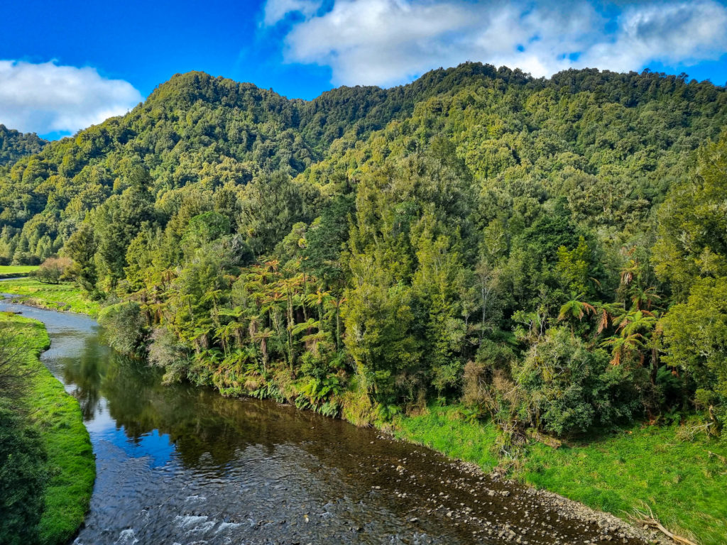
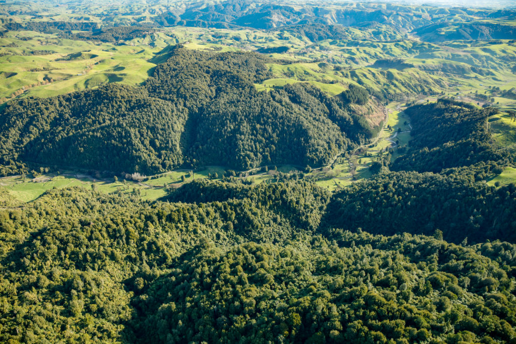
Location The Basil Hewett Reserve is in the Western King Country, between Te Kuiti and Awakino . It is 360 ha of mature hill country forest bordering the upper Awakino River, with the Mahoenui Scenic Reserve to the south and privately owned forest to the north. History A substantial bequest by the late Basil Hewett,…
Read MorePatui forest remnants
Location Patui forest remnants are located approximately 22 kms east of Stratford near Makahu in east Taranaki. The site lies within the Matemateaonga Ecological District and Patea River catchment. At the western end the remnants are connected to adjacent native forest including the Tututawa Conservation Area and Tututawa Local Purpose Reserve. Other nearby protected areas…
Read MoreTaranaki Mahood-Lowe Reserve
Location About 8km south of Egmont Village, the reserve is situated adjacent to the northern boundary of Egmont National Park, with the Waiwhakaiho River near the eastern boundary. The Kai Auahi Stream forms the western boundary. Description Mahood-Lowe Reserve was purchased in 2018 following a successful fundraising campaign. A further 9ha was added in 2020…
Read MoreEd Hillary Hope Reserve
Location The reserve adjoins the Four Brothers Scenic Reserve (and the Karamu Walkway), midway between Hamilton and Raglan on SH23. The entrance is on Old Mountain Road (approximately 732 Old Mountain Road), Waitetuna. Description Purchased in 2014, this 460ha Reserve is named in recognition of Sir Edmund Hillary, Patron of the Native Forest Restoration Trust…
Read MoreOwen Lewis
Location Owen Lewis Reserve lies on both sides of the Waimahora Stream, which runs from the Rangitoto Range in the King Country, south-east of Otorohanga. It is a 250 hectare block in two parts divided by the stream and a road through a narrow river flat. History Some logging of podocarps occurred in the lower…
Read MorePalmer Bush
Location The Palmer Reserve is in the Bay of Plenty near Pahoia, between Tauranga and Katikati. The block is 8ha, set aside and protected as part of a lifestyle block subdivision. It adjoins a larger piece of privately owned bush which in turn adjoins the Kaimai Ranges Forest Park. History The reserve was originally owned…
Read MorePehitawa Kahikatea Forest
Location The Pehitawa Kahikatea Forest Reserve is an 18.5ha block which forms part of a series of small remnants of lowland kahikatea forest along the Mangapu River, 5km north-west of Te Kuiti in the northern King Country. It is surrounded by farmland. History The reserve was purchased in 2001 from the farming owners who were…
Read MoreRangitoto Station
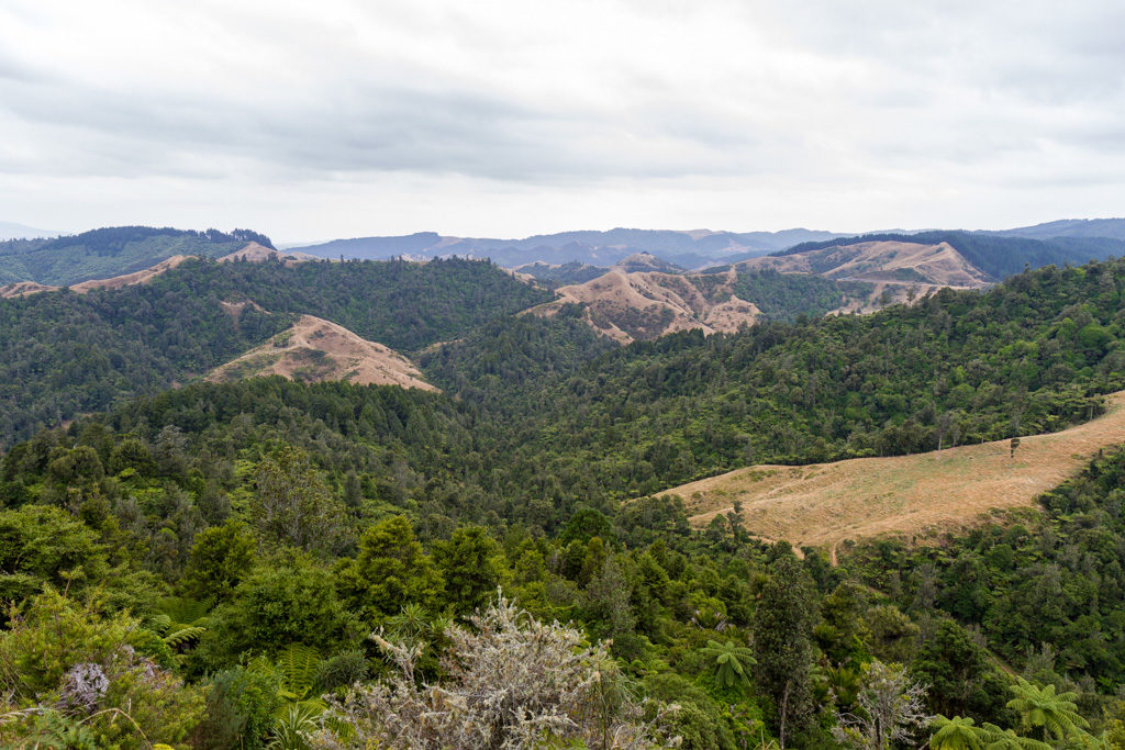
Location Rangitoto Station Reserve lies high up on the Rangitoto Range in the King Country, south-east of Otorohanga. It is a 427ha block of regenerating bush surrounded on all sides by protected mature forest, including Pureora Forest Park, private reserves and Maori Trust land. History Successive owners of the station tried to develop the land…
Read MoreRangitoto Station walking tracks
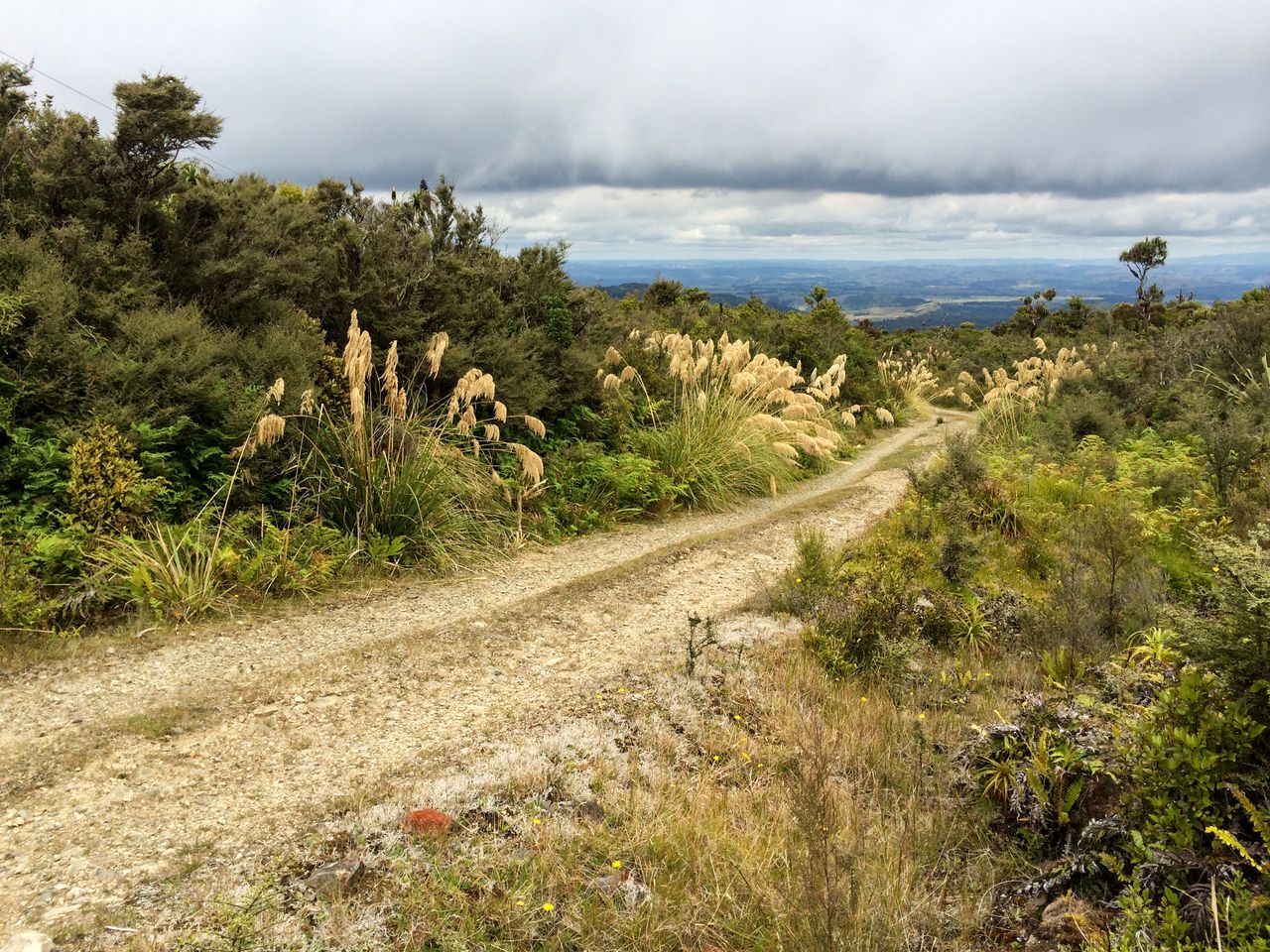
1. Ranginui Trig Road: Begins near the entrance to the Station. To the left is the Mangatutu Ecological Area. Along further there are views to the right down the Owawenga valley. Excellent views and interesting vegetation (Dracophyllum) at the Trig. From the intersection with (5) the road becomes much steeper. (2 hrs or more one…
Read MoreMangatutu and Tunawaea kokako project
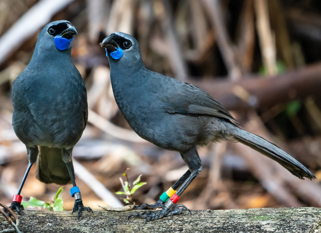
Photo by Bernie Krippner Background: This project has evolved from the initiative that saw the protection of Rangitoto Station by the Restoration Trust. The purchase of this property has provided increased opportunity and involvement by members of the Restoration Trust, the Otorohanga Zoological Society and public generally in active, on the ground conservation management, including…
Read More